- Friday, February 15, 2019
- 3:30 PM–4:30 PM
- North Hall 078
The Department of Geology, Geography and Environmental Studies invites you to a seminar:
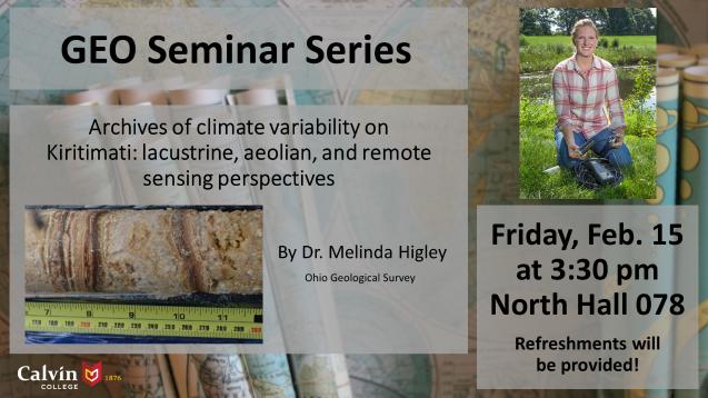
Friday, February 15, 3:30pm, North Hall 078, Refreshments will be provided!
Archives of climate variability on Kiritimati: lacustrine, aeolian, and remote sensing perspectives
by Dr. Melinda Higley, Ohio Geological Survey
Sedimentary archives from tropical Pacific islands can provide information on changes to the tropical hydrologic cycle. However, such observations are temporally and spatially limited, reducing our ability to understand past atmospheric moisture balance over long timescales. A lake sediment record from Kiritimati Island, in the central tropical Pacific, improves the spatiotemporal coverage of climate archives for the past millennium in the tropical Pacific, helping to test key hypotheses for tropical Pacific climate variability. Coastal aeolian (sand dune) deposits on Kiritimati represent an additional source of information for terrestrial changes associated with Pacific climate variability. Sedimentological data and stratigraphic observations associated with radiocarbon dates from dunes suggest 20th century landscape disturbances on the island, and prior to that, may reflect predominantly large-scale shifts in central tropical Pacific atmospheric moisture. Even in the instrumental era, the relationship between climate and island hydrology remains uncertain because of data scarcity and island remoteness — a problem that inspired an assessment of modern surface water variability on Kiritimati using remote sensing. An investigation of the relationship between surface water variability and local oceanic and atmospheric data reveals present-day freshwater stressors for the growing population of Kiritimati.

